
Welcome to the cutting-edge of uphill cycling
and world's most famous ascents of each of the continents


Welcome to the cutting-edge of uphill cycling
and world's most famous ascents of each of the continents

In the north of Greece, on the border with North Macedonia, there is a ski area on Mount Voras, which is accessible via a tarmac road. The road leads to an altitude of over 2,000 metres, making it the highest point in the country that can be reached by road bike. Mountain bikers can go even higher up to 2,250 metres on a dirt road.
Start: Agios Athanasios 1,204m
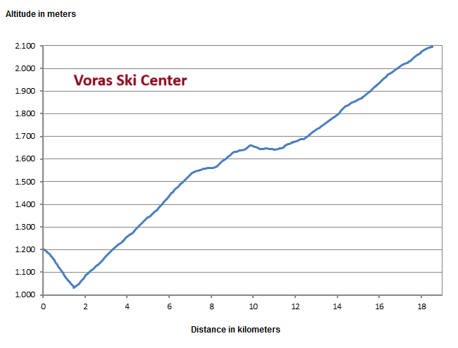
The profile shows that the route initially descends 150 metres in altitude from the starting point. This is followed by a 10% gradient for around five kilometres before it flattens out a little. The last five kilometres are then quite steep again.
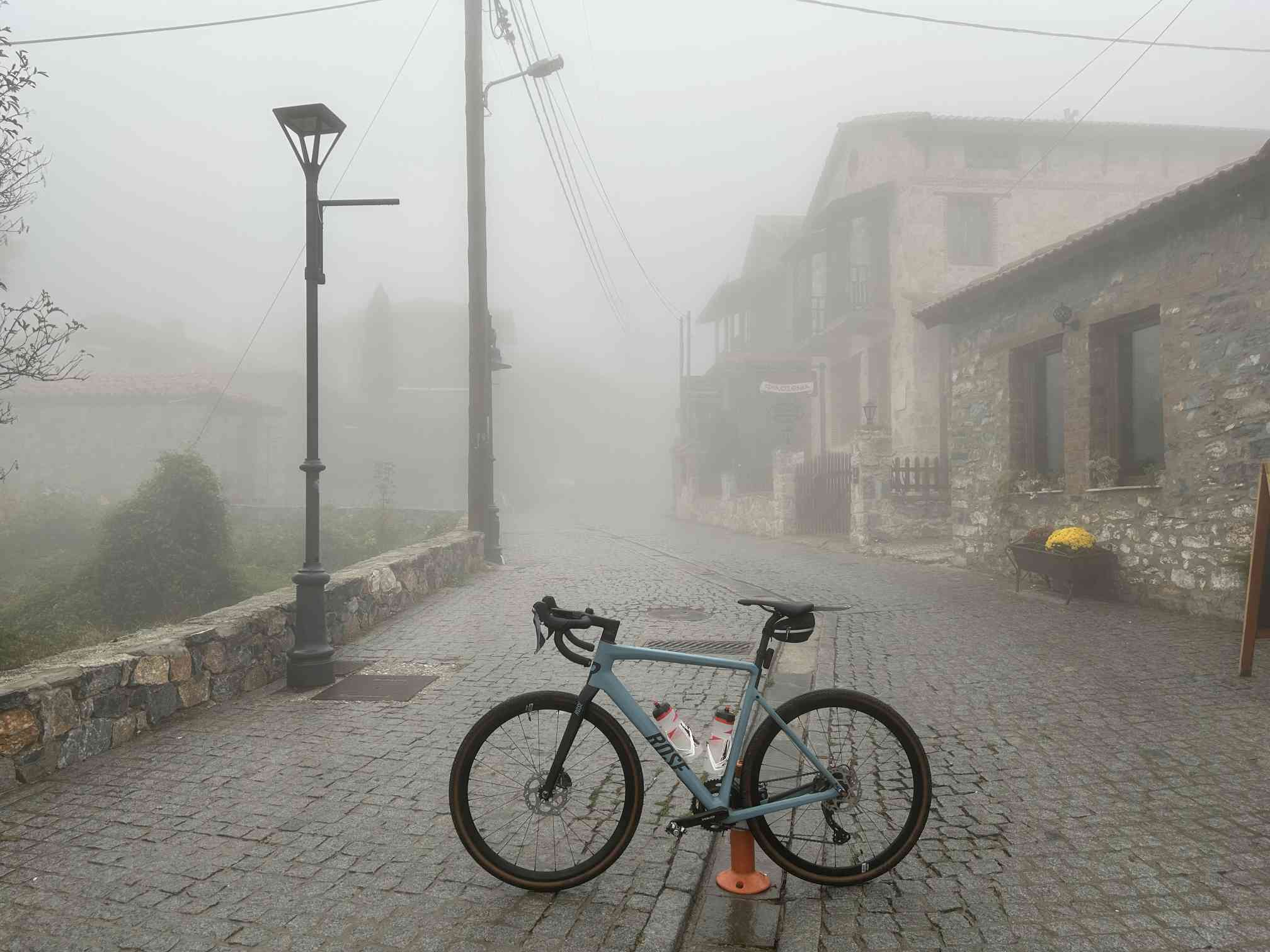
The race starts in drizzle and poor visibility in the picturesque village of Agios Athanasios. The historic village consists only of holiday accommodation and restaurants and actually specialises in winter guests.
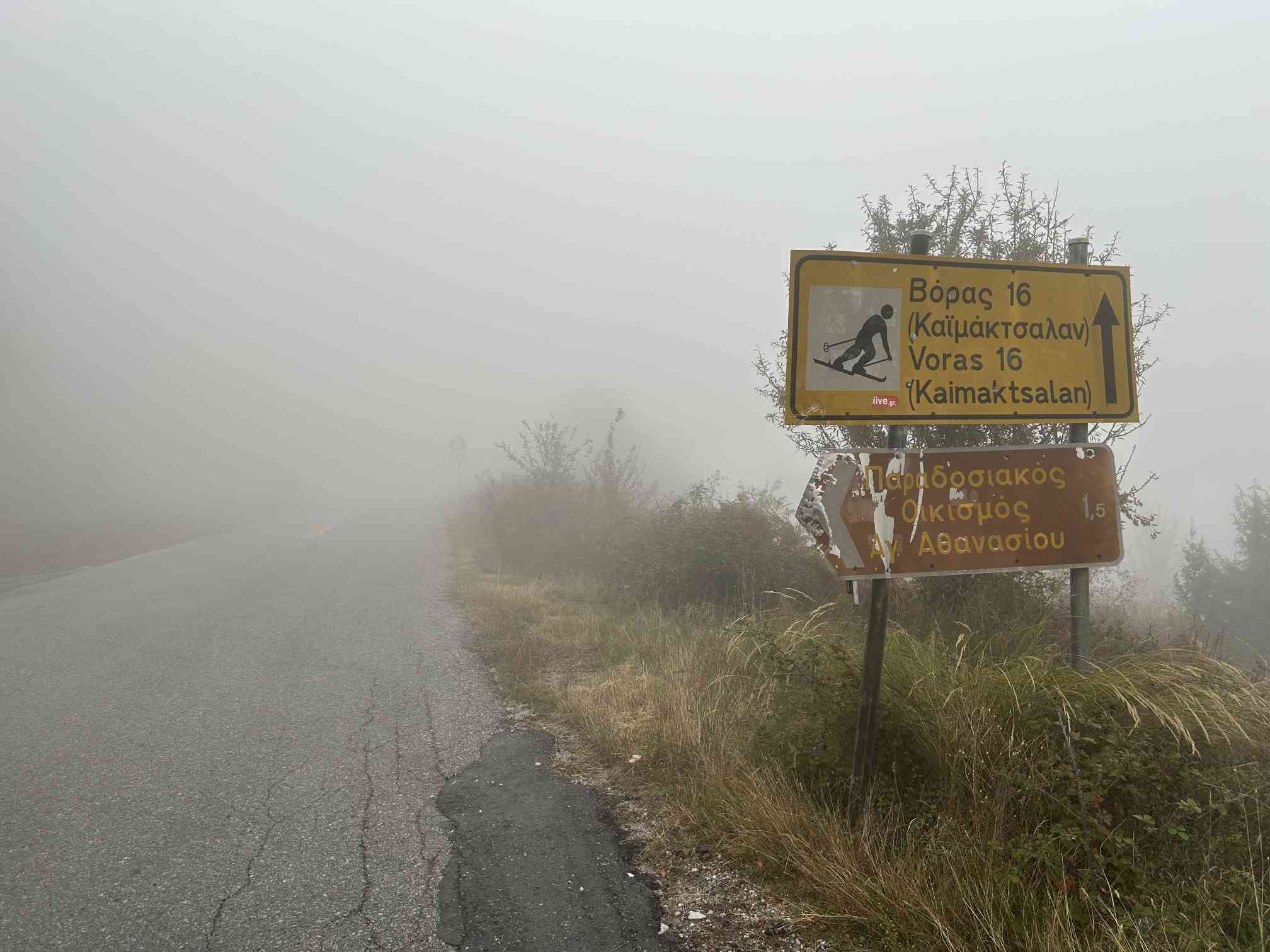
We head up to the Kaimaktsalan ski resort on Mount Voras.
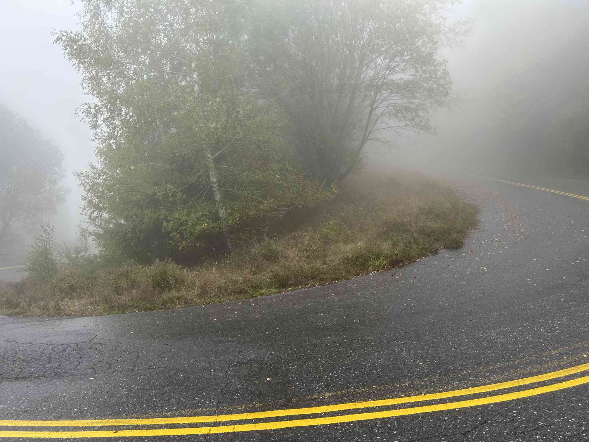
The forecast was actually for sunshine and pretty cold weather, but the weather is actually dreadful.
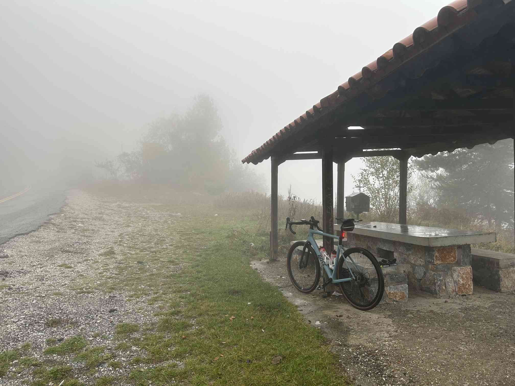
It's supposed to stay this bad. Unfortunately, you can't see anything on the way, although there are some nice viewpoints. These actually offer a view down to Lake Vegoritida - but not today.
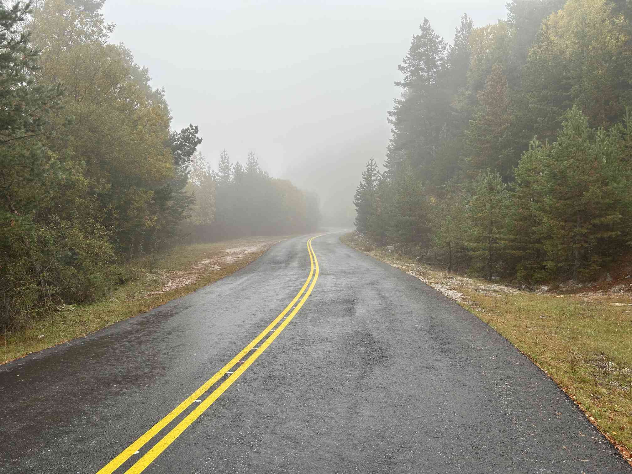
Even after an hour's walk, it remains cold and wet. The cold and damp creep into your clothes and body.
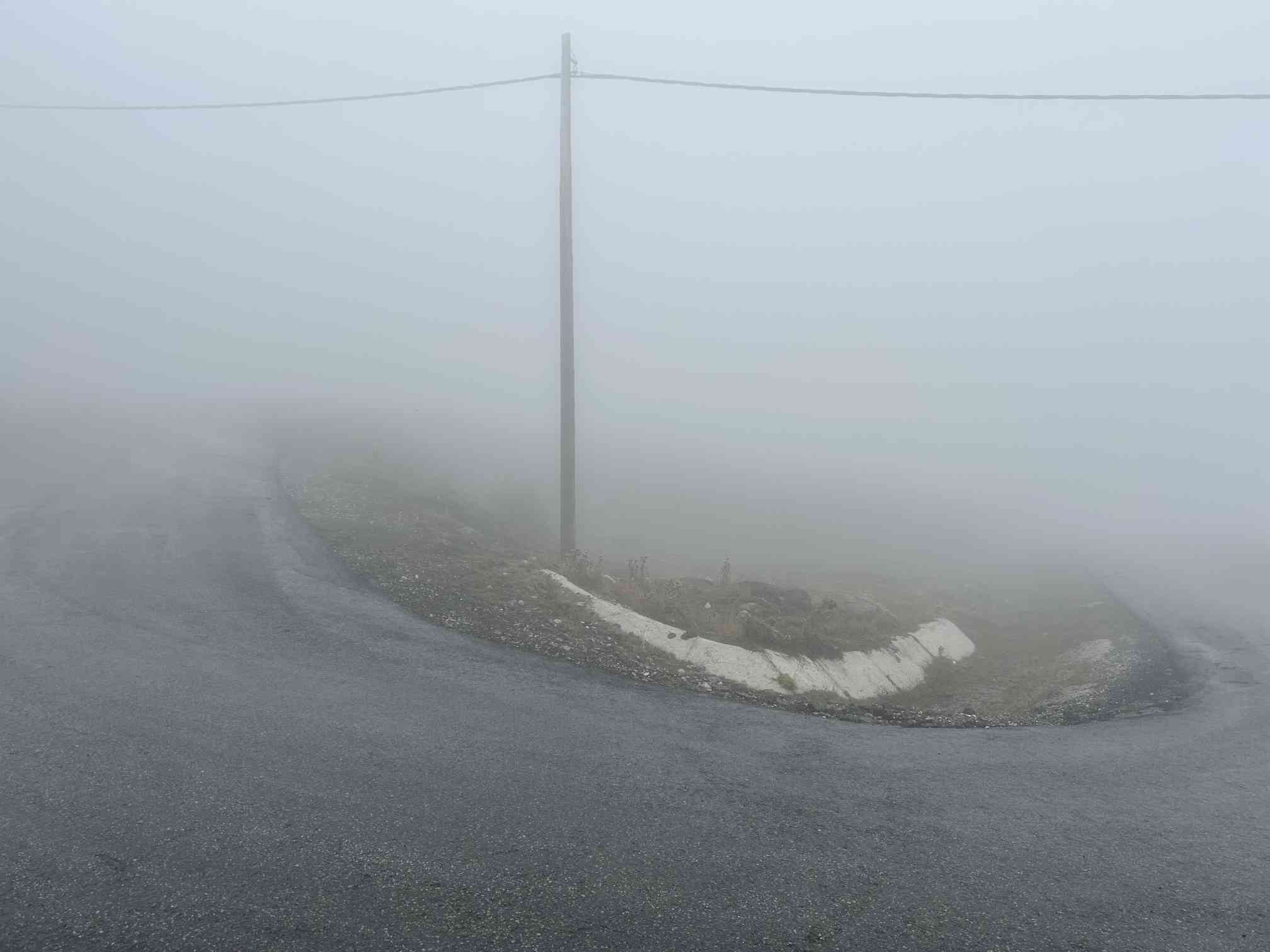
But even with a visibility of only 20 metres, some of the hairpin bends along the way are fun.
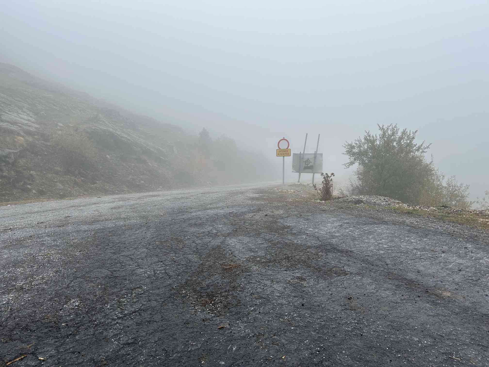
Here is the turn-off from the main road to the ski area. The path straight ahead is obviously closed (although Google Maps describes it as the main path). But we have to go up to the left anyway.
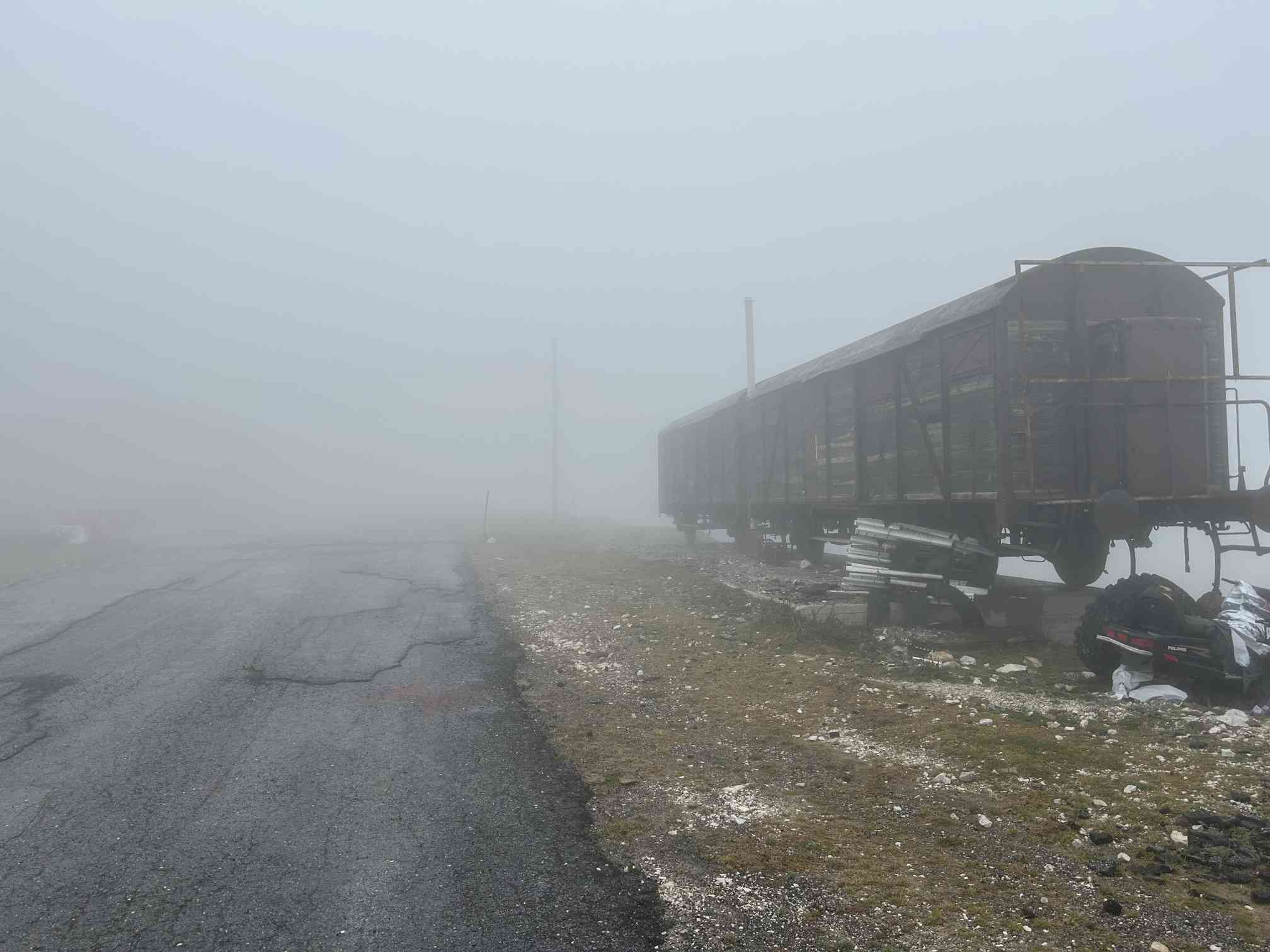
After about two steep kilometres, you reach the car park at the ski area. It gets bizarre here: a rotten railway carriage stands in the cold fog, although there are no tracks up here.
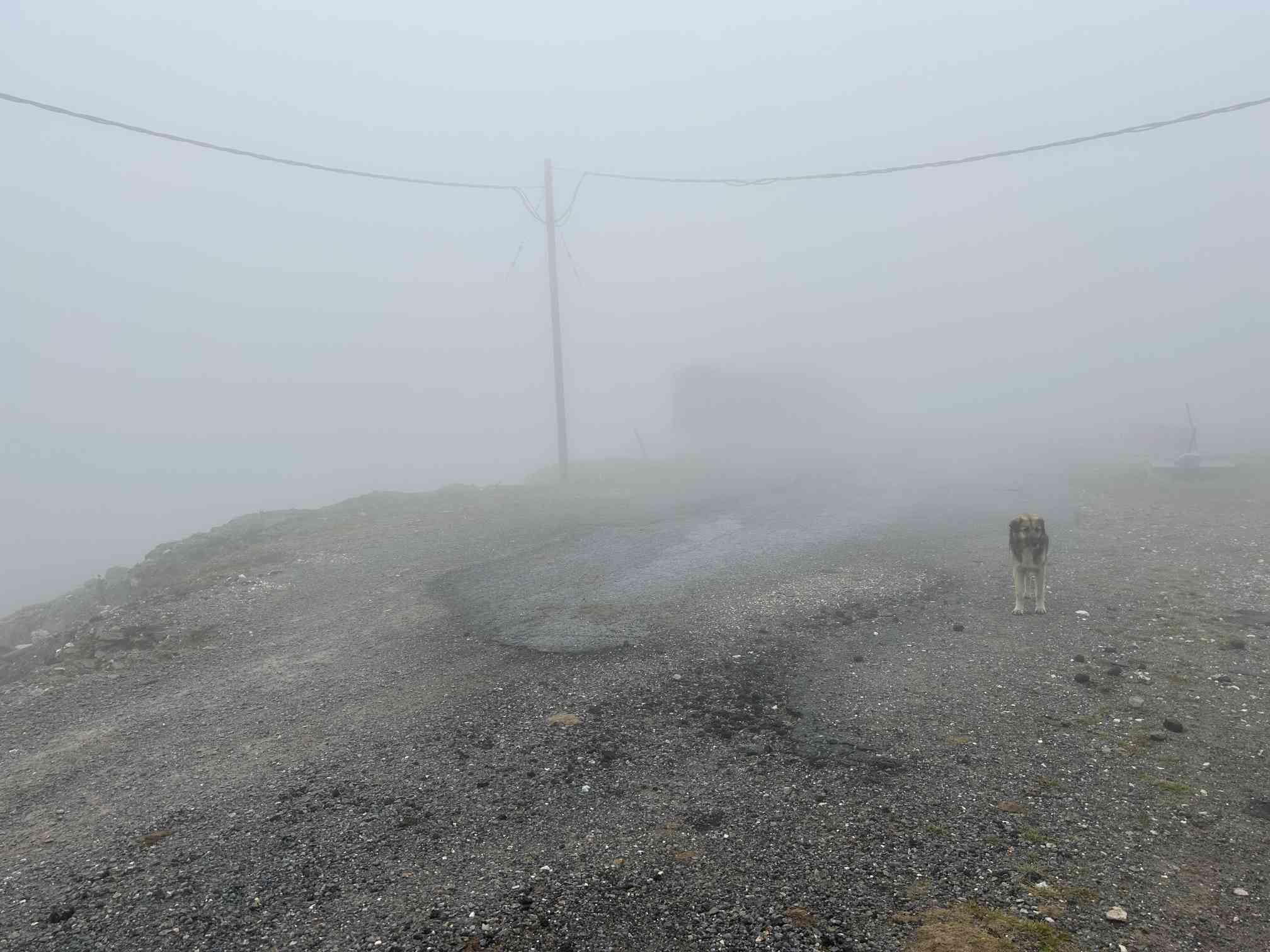
The stray dogs that are up to mischief here are unpleasant and show great interest in the sausage sandwiches in my rucksack. This one is still harmless. On the way back, I am harassed by two more huge herding dogs. It gets scary when three riders suddenly appear out of the fog in Wild West style with a cigarette in the corner of their mouths, recognise my predicament and chase the dogs away. I quickly take off.
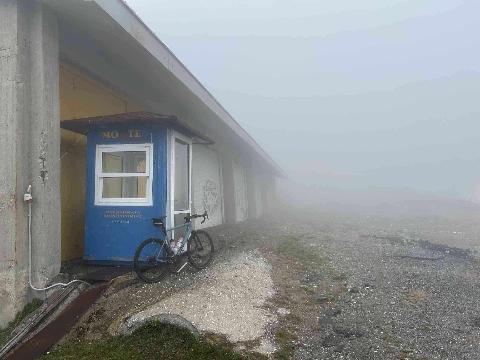
I take my summit photo at the end of the car park in a spooky atmosphere.
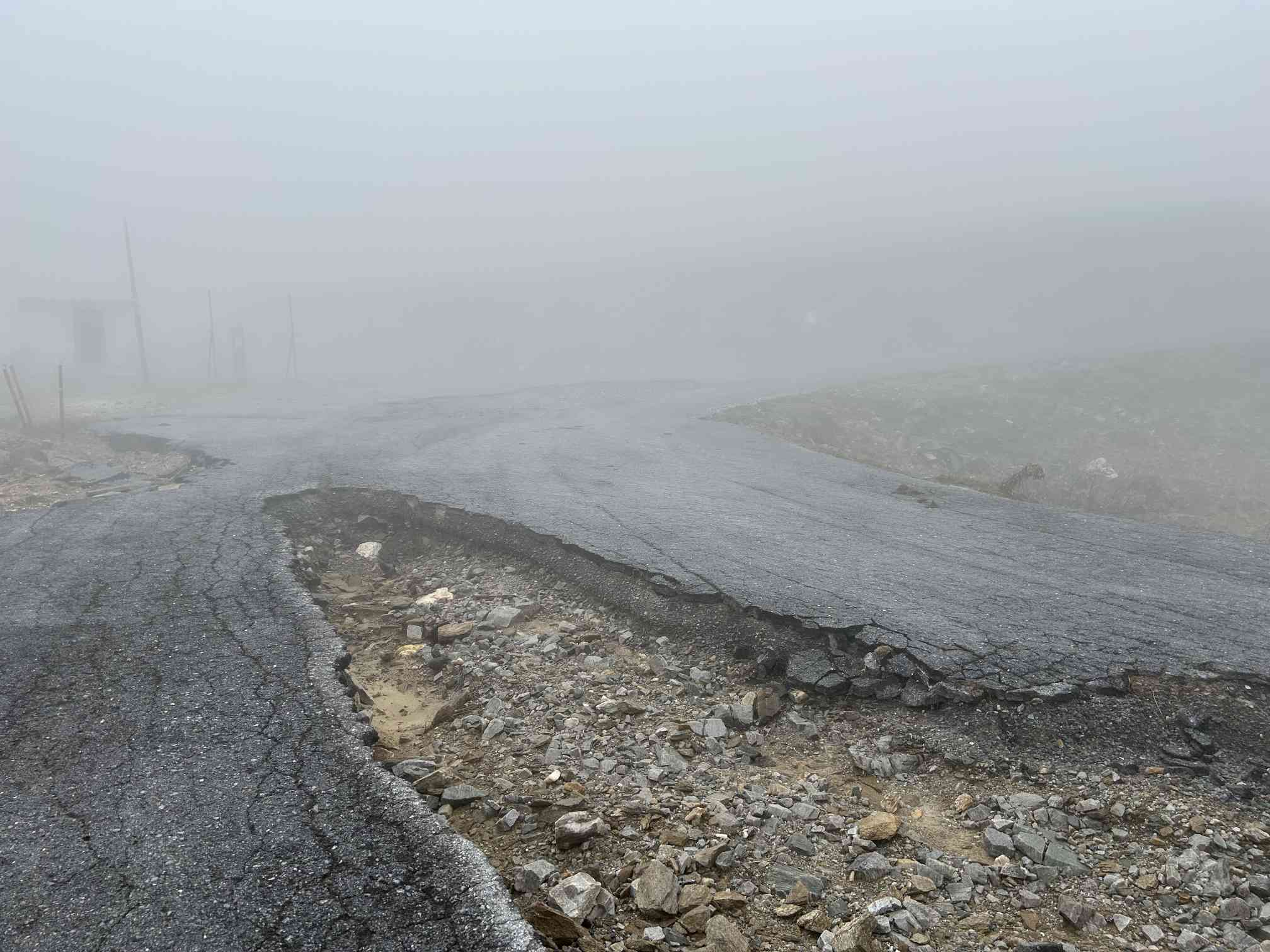
But curiosity drives me further up. The path is still a little more tarmac. Well, what's left of the track anyway.
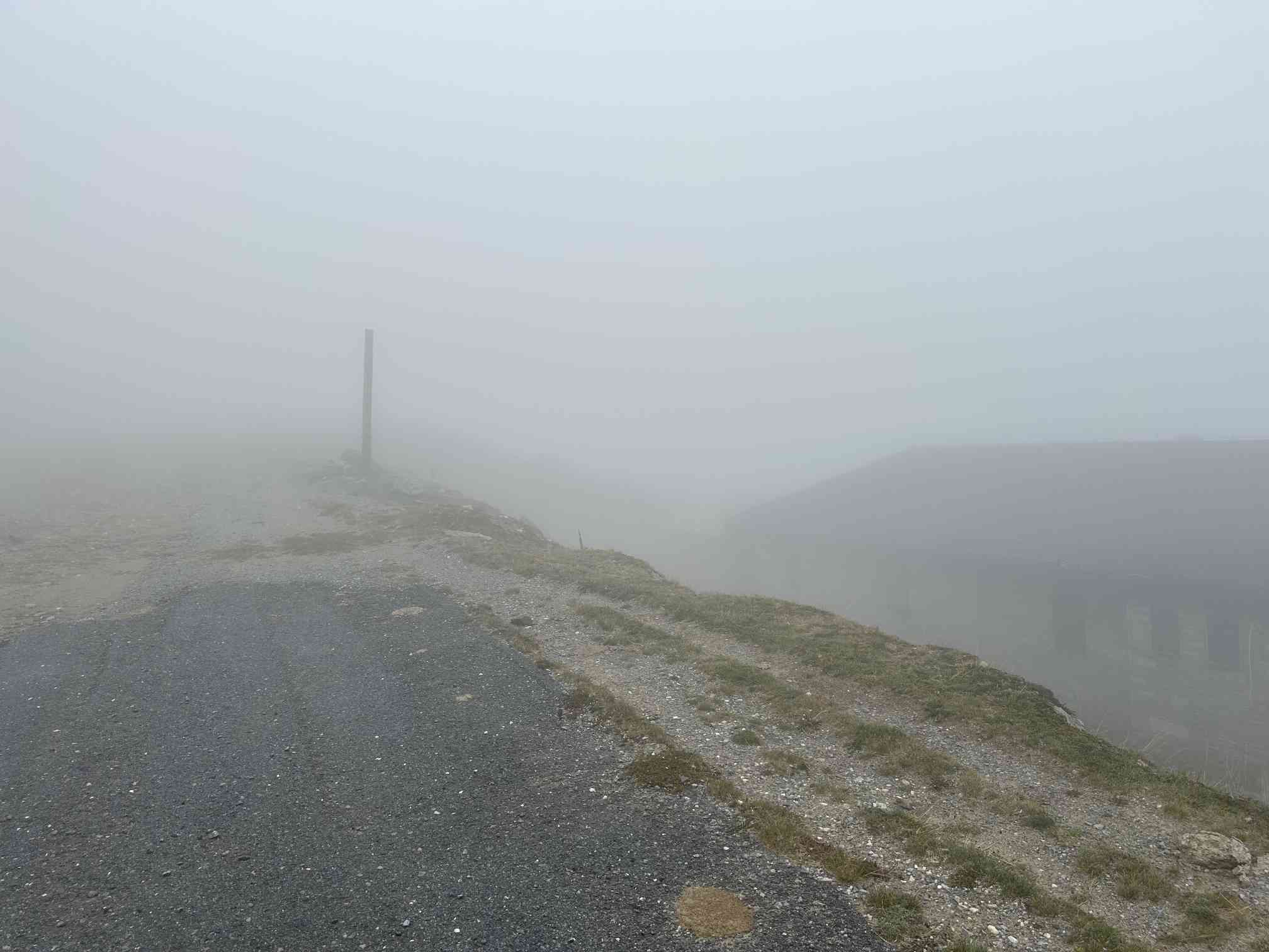
At the end of the tarmac, my GPS indicates an altitude of 2,074 metres at this point. But behind it, the unpaved road climbs another 180 metres in altitude.
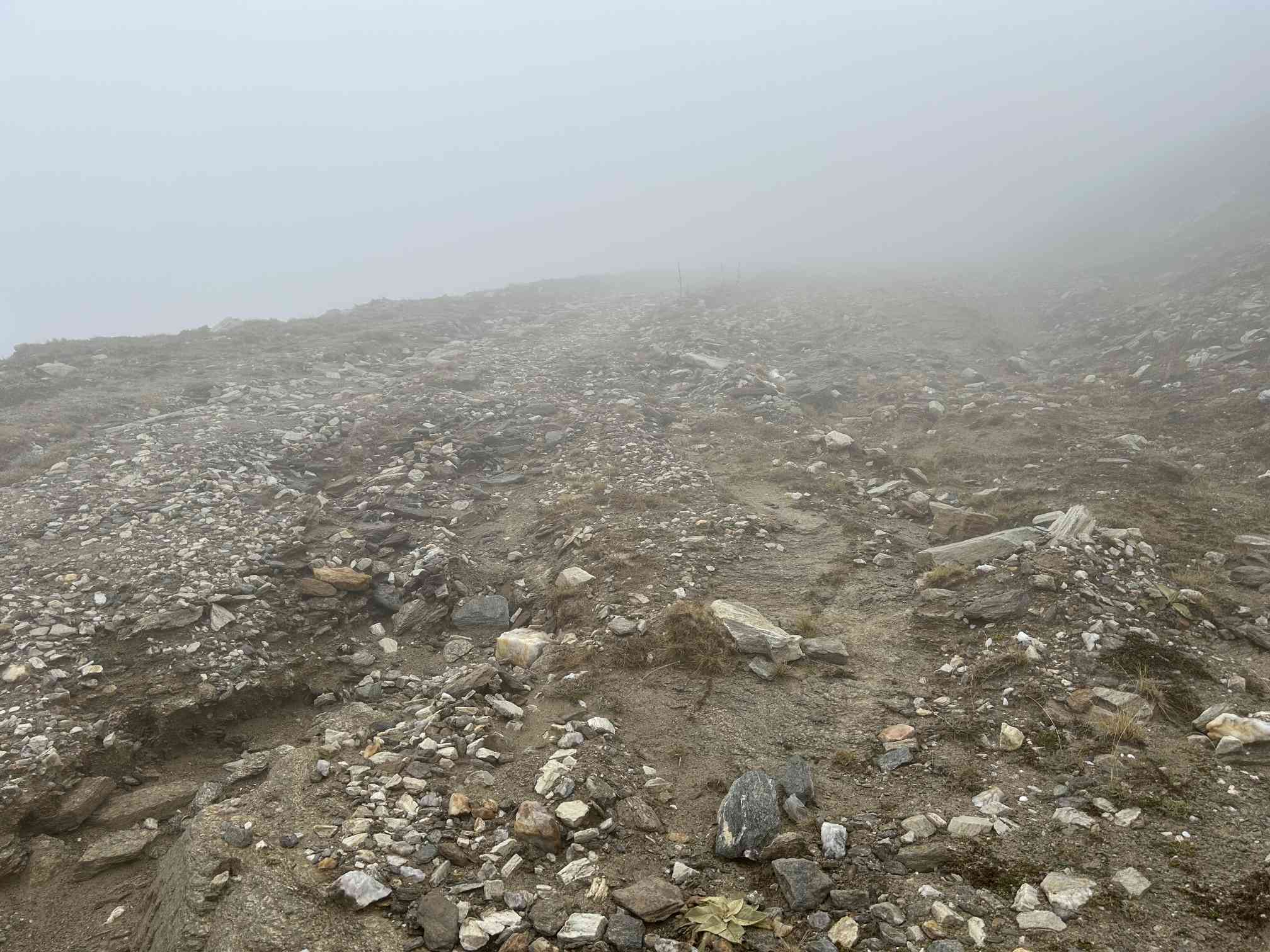
I'm travelling on a gravel bike, but at an altitude of 2,100m the weather and road conditions are too tricky for me and I start to retreat. The path is completely washed out and only passable on a mountain bike.
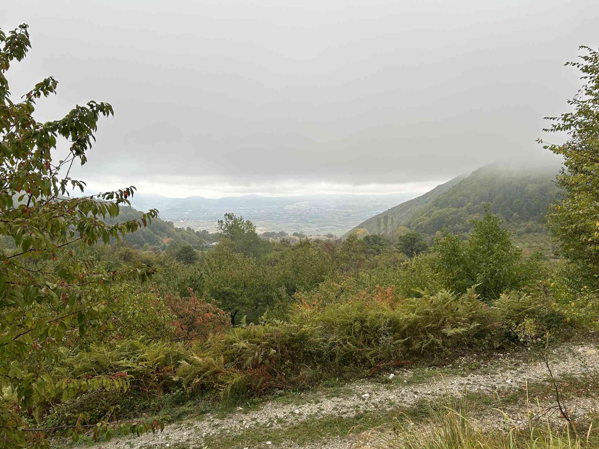
Only at the very bottom, at an altitude of just over 1,000 metres, does the cloud cover clear a little for the first time.